Youtube Het Verdronken Land van Saeftinghe Video - MovieFor a detailed description of this island, see our info-island-page:Het Verdronken Land van Saeftinghe |
Physical characteristics - Location
Demographic data island
|
|||||||||||||||||||||||||||||||||||||||||||||||||||||||||||||||||||||||||||||||||||||||||||||||||||||||||||||||||||||||||||||||
Naming - Location
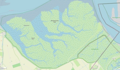
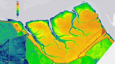
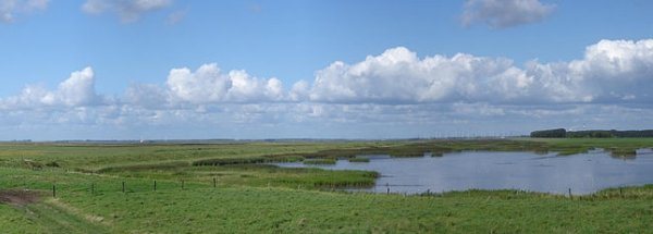
Topographic islandmap Het Verdronken Land van Saeftinghe © OpenStreetMap-auteurs, CC-BY-SA. Map Het Verdronken Land van Saeftinghe Het Verdronken Land van Saeftinghe views: 1948 Height map of Het Verdronken Land van Saeftinghe
Relief: Height Classes in percentagesRelief: Slope Classes in percentages |
Weather at Het Verdronken Land van Saeftinghe
The weather for the next few hoursGemeente Hulst - NL (longitude: 4.1315, latitude: 51.3599)Distance weather station to the center island (direction N): not known
Climate: Temperature and PrecipitationTransport on your island-holiday
island-Sights, island-Tourism - island-attractions
island accommodation: Hotel ,Holiday Home, Camping
Social media - Multimedia Videos youtube Het Verdronken Land van Saeftinghe Videos youtube Het Verdronken Land van Saeftinghe
 Photos (Flickr) of the place Het Verdronken Land van Saeftinghe Photos (Flickr) of the place Het Verdronken Land van Saeftinghe
Bings maps Het Verdronken Land van Saeftinghe Mapquest Het Verdronken Land van Saeftinghe Loc.Alize.us Het Verdronken Land van Saeftinghe Landuse Het Verdronken Land van Saeftinghe
|
|||||||||||||||||||||||||||||||||||||||||||||||||||||||||||||||||||||||||||||||||||||||||||||||||||||||||||||||||||||||||||||||


 Wikipedia:
  Camping