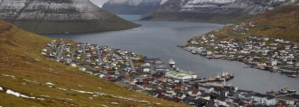
Map island BorðoyThe surface-area of the island is 96.1 km2 and is therefore 0.253 times greater than the island Isle of Wight. The island lies in the and the total coastal length is about 82.7 km and the dimensions of the island are approximately 21.7 km by 11 km (maximum width). The island is North - South oriented. The coordinates (latitude, longitude) of the island (center) for GPS are 62.25 (62°15'2.2212), -6.54 (-6°32'15.5688). © OpenStreetMap-auteurs, CC-BY-SA. Map Borðoy views: 313 |
|
|
|
|


