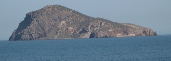
Map island Isla del CongresoThe surface-area of the island is 0.250 km2 and is therefore 0.001 times greater than the island Isle of Wight. The island lies in the Alboran Sea and the total coastal length is about 2.9 km and the dimensions of the island are approximately 0.90 km by 0.25 km (maximum width). The island is North-northwest - South-southeast oriented. The highest point is 137 meter. The coordinates (latitude, longitude) of the island (center) for GPS are 35.18 (35°10'44.7744), -2.44 (-2°26'27.8664). © OpenStreetMap-auteurs, CC-BY-SA. Map Isla del Congreso views: 733 |
|
|
|
|


