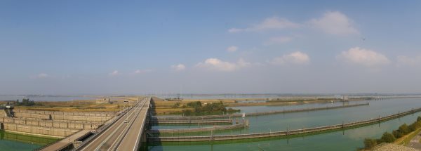
Map island NoordplaatThe surface-area of the island is 0.126 km2 and is therefore 0 times greater than the island Isle of Wight. The island lies in the Krammer - Zuid Vlije and the total coastal length is about 7.9 km and the dimensions of the island are approximately 0.40 km by 0.26 km (maximum width). The island is North-northwest - South-southeast oriented. The coordinates (latitude, longitude) of the island (center) for GPS are 51.64 (51°38'40.8), 4.24 (4°14'15.6). © OpenStreetMap-auteurs, CC-BY-SA. Map Noordplaat views: 709 |
|
|
|
|


